Mia Jung · 22 September 2026
Tracing Sediment Pathways Through Seasonal Creek Networks in Mountain Valleys
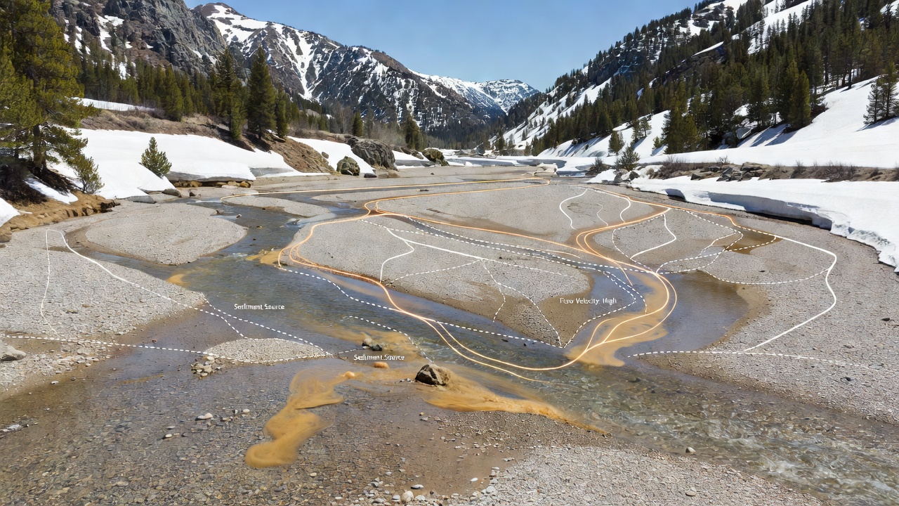
Seasonal creek networks in mountain valleys transport sediment through steep gradients and variable flow regimes that shift with snowmelt and rainfall patterns. Researchers track these pathways using a combination of field sampling, isotopic analysis, and remote sensing techniques that reveal how fine particles move from source slopes into valley floors. Data from multiple watersheds indicate that peak sediment loads often coincide with spring thaw periods when water volumes increase rapidly and erode loose material from channel banks.
Methods for Mapping Sediment Movement
Scientists apply tracers such as fluorescent particles and rare earth elements to follow sediment grains through creek systems, while acoustic Doppler current profilers measure flow velocities at key points along the network. These approaches allow observers to distinguish between sediment derived from hillslope erosion and that resuspended from creek beds during high-flow events. Studies conducted across the Rocky Mountains and the Alps demonstrate that particle size distribution changes noticeably as material travels downstream, with coarser fractions depositing first in wider valley sections.
Remote sensing from satellite platforms supplements ground measurements by capturing changes in channel morphology over multiple seasons. Analysts compare imagery captured before and after major runoff events to quantify areas of deposition and incision, and this integration of datasets produces maps that highlight primary transport routes. Equipment placed at monitoring stations records continuous turbidity levels, providing time-series data that correlate directly with discharge rates recorded at the same locations.
Seasonal Influences on Creek Networks
Flow regimes in these mountain creeks vary sharply between winter low-flow conditions and summer storm pulses, yet the largest sediment fluxes typically occur during the spring melt window that spans March through June in northern latitudes. Observers note that frozen ground in early spring limits infiltration, which concentrates surface runoff and accelerates erosion along valley walls. By late summer, reduced baseflow allows finer sediments to settle in pools and behind log jams, only to be remobilized when autumn rains arrive.
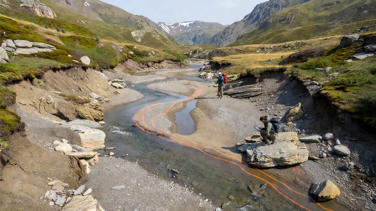
Records maintained by the US Geological Survey show that a single intense melt event can deliver sediment volumes equivalent to several years of average transport, reshaping channel cross-sections within hours. In contrast, European catchments monitored by national agencies reveal similar patterns driven by orographic precipitation rather than snowmelt alone. These regional differences underscore how local climate and geology interact to control sediment routing.
Valley Floor Responses and Long-Term Patterns
Valley floors accumulate sediment in alluvial fans and floodplains where creek gradients flatten, and repeated deposition builds fertile soils that support distinct vegetation communities. Over decades, however, extreme events can breach natural levees and redistribute material across wider areas, altering habitat connectivity for aquatic species. Research teams have documented these shifts by coring floodplain sediments and dating layers with fallout radionuclides, which provide chronological markers for major transport episodes.
Climate records indicate that warmer temperatures in recent decades have advanced the timing of peak snowmelt by several weeks in many ranges, and this shift influences the window during which creeks carry the highest sediment loads. September 2026 updates from long-term monitoring networks in the Canadian Rockies confirmed continued advancement of melt timing and associated changes in sediment yield, extending earlier findings from the 2010s. Such observations help model future scenarios where altered hydrology may increase or decrease net sediment delivery to valley bottoms depending on precipitation intensity.
Conclusion
Tracing sediment pathways through seasonal creek networks requires coordinated use of multiple techniques that capture both short-term events and multi-year trends. Findings from mountain valleys worldwide demonstrate that flow timing, particle characteristics, and valley morphology together determine where sediment originates, travels, and ultimately deposits. Continued monitoring through established agencies supplies the data needed to understand these dynamic systems as climate patterns evolve.